Day 35: Moab, UT to Canyonlands National Park, the Bicentennial Highway, Capitol Reef National Park and Torrey, UT


352.2 Miles | 7:12 Riding Time
It’s Wednesday, May 15, 2024, and it’s Day 35 of my cross country motorcycle trip.
Today’s post has a long title, and it was a long day. Not the longest day of riding. That honor belongs to Day 2: Hagerstown, MD to Greenville, SC (508.3 miles). That was mostly getting from point A to point B on the highway. This was mostly riding!
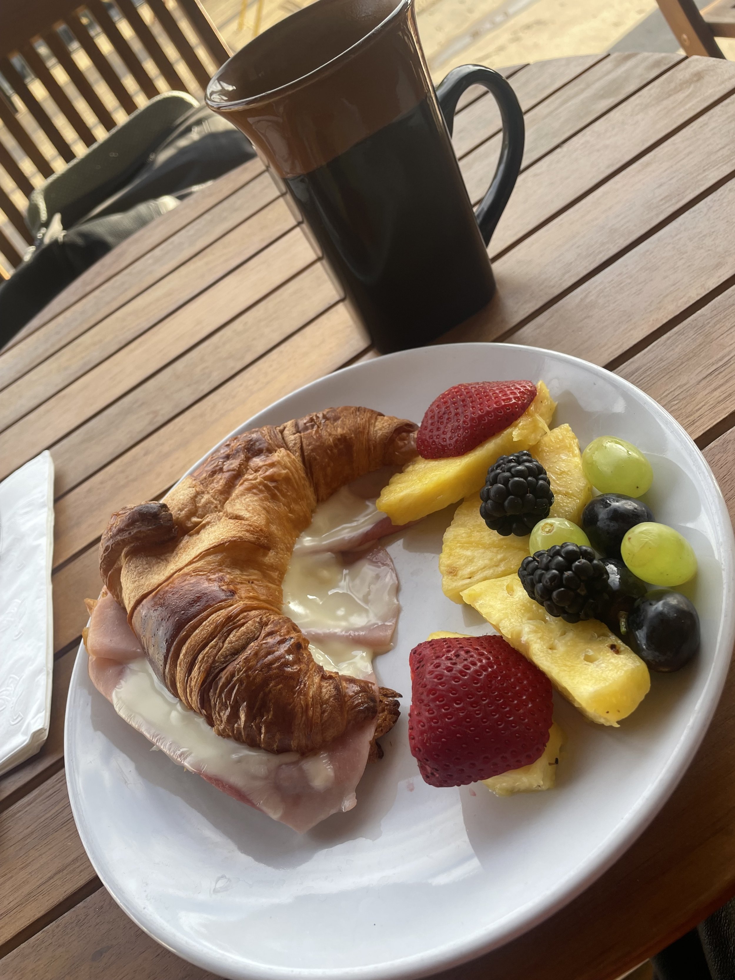
I started early with breakfast at the Bonjour Cafe Bakery in Moab—ham and cheese croissant and fruit (so I don’t get scurvy). Filled up the tank (holds 7 gallons—lots of folks ask), and headed over to Canyonlands National Park. The other day, at Arches, I had to wait about 45 minutes. Today, I had to wait about 45 seconds. (The Island in the Sky District of Canyonlands National Park in Utah receives over 250,000 visitors annually. The park itself receives around one million visitors per year, making it the least-visited of Utah's five national parks).
The tagline for Canyonlands is “A Lifetime of Exploration Awaits,” and they aren’t kidding. The park is divided into four districts: Island in the Sky, The Needles, The Maze, and the rivers themselves. I visited the Island in the Sky. I could have spent a month in the park and not seen everything. It’s also home to the legendary White Rim Road, which is only accessible to mountain bikes, 4WD vehicles and adventure bikes. I did not go there, but maybe someday I’ll take an adventure bike down there.
The park road was beautiful, but the overlooks were…I don’t have a word. My first stop was at the Green River Overlook. There was a couple there, and me—that’s it—and other than a brief, “hello,” none of us wanted to break the absolute silence of this place. We filled our eyes, and took our pictures to try to capture how vast it was.
Over to the Grand View Point Overlook. This was much bigger and more expansive, but it was also much busier. There were a few dozen people there, and a ranger giving a geology talk. Don’t get me wrong. It’s amazing—just not as solemn as the last stop. I started heading back out of the park, but decided to make one last stop. So glad I did.
The Shafer Overlook offered a great view of the road that leads down to the White Rim Road. If you zoom in on that picture, you might be able to make out some of the cars down there. It also gives a good view of Dead Horse Point, and the spot where Thelma and Louise took their famous final ride. I’m not sure which cliff it is, but it’s down there.
Now, I had a decision to make. I was going to spend the night in Torrey, UT at this cute B&B in an old Schoolhouse—The Torrey Schoolhouse. But, there were two different ways to get there. I could go up to Interstate 70, then down Route 24. Google says that’s 166 Miles and 2:50 Minutes. Or, I could go south to Blanding, and take Route 95—the Bicentennial Highway. Google says that’s 281 Miles and 5:10 Minutes. And the winner is…south. Back to Moab for lunch at the Moab Diner, and off I went.
Utah State Route 95 is also known as the Bicentennial Highway (Although the highway has existed since the 1930s as a primitive dirt road, it received its name at its dedication as a paved state highway coincident with the U.S. Bicentennial in 1976.) It was beautiful and empty. There are no services on this road for 120 miles. No gas. No food. No water. There’s just a road and occasional scenic turnouts. I learned that when the road is this scenic all by itself, and then someone decided that at this precise spot people should stop to see this particularly stunning view, you stop and see the view.
In Hanksville, it connects with Route 24 and goes right through the Capitol Reef National Park. This is a park that doesn’t get the press it should. The NPS website describes it as, “in the heart of red rock country, Capitol Reef National Park is a hidden treasure filled with cliffs, canyons, domes, and bridges in the Waterpocket Fold, a geologic monocline (a wrinkle on the earth) extending almost 100 miles.” The scenic drive is closed for road work, but the rock formations I could see are stunning, and the petroglyphs are cool, although recent rockfalls have damaged many of them.
My hotel for the night was the adorable Torrey Schoolhouse B&B. I was in the “Writing” room, which was small, but had a massage lounger that was a welcome sight after so many hours in the saddle.
The Route

Elevation Profile