Day 55: From the Mountains, to the Forests, to the Ocean


Ashland, OR through Klamath Falls, Crater Lake National Park, Diamond Lake, Roseburg and Coquille to Coos Bay, OR
339.47 Miles | 7:01 Riding Time
It’s Tuesday, June 4, 2024, and it’s Day 55 of my cross country motorcycle trip.
I know. I know. From the mountains, I’m supposed to go to the prairies, then to the oceans. There just weren’t any prairies to ride through today. But, it was the third longest day of riding so far on this trip, and a day of extremes.
The first part of the day was the ride up to Crater Lake National Park. From Ashland, there was 20 miles of downhill twisties, followed by 20 miles of uphill twisties. Helmet-tip to the dozen or so bicyclists I passed pedaling along that uphill section—that was an accomplishment. Then, about 50 miles of pretty flat riding at 4,500 ft, before starting the climb another 3,000 ft to Crater Lake.
At about 4,800 ft, I started to see signs of snow on the sides of the road. And, there were these tall sticks along the road, with white bands on them. It took me a minute to realize that these were guides for the snowplows. They get some serious snow up here.
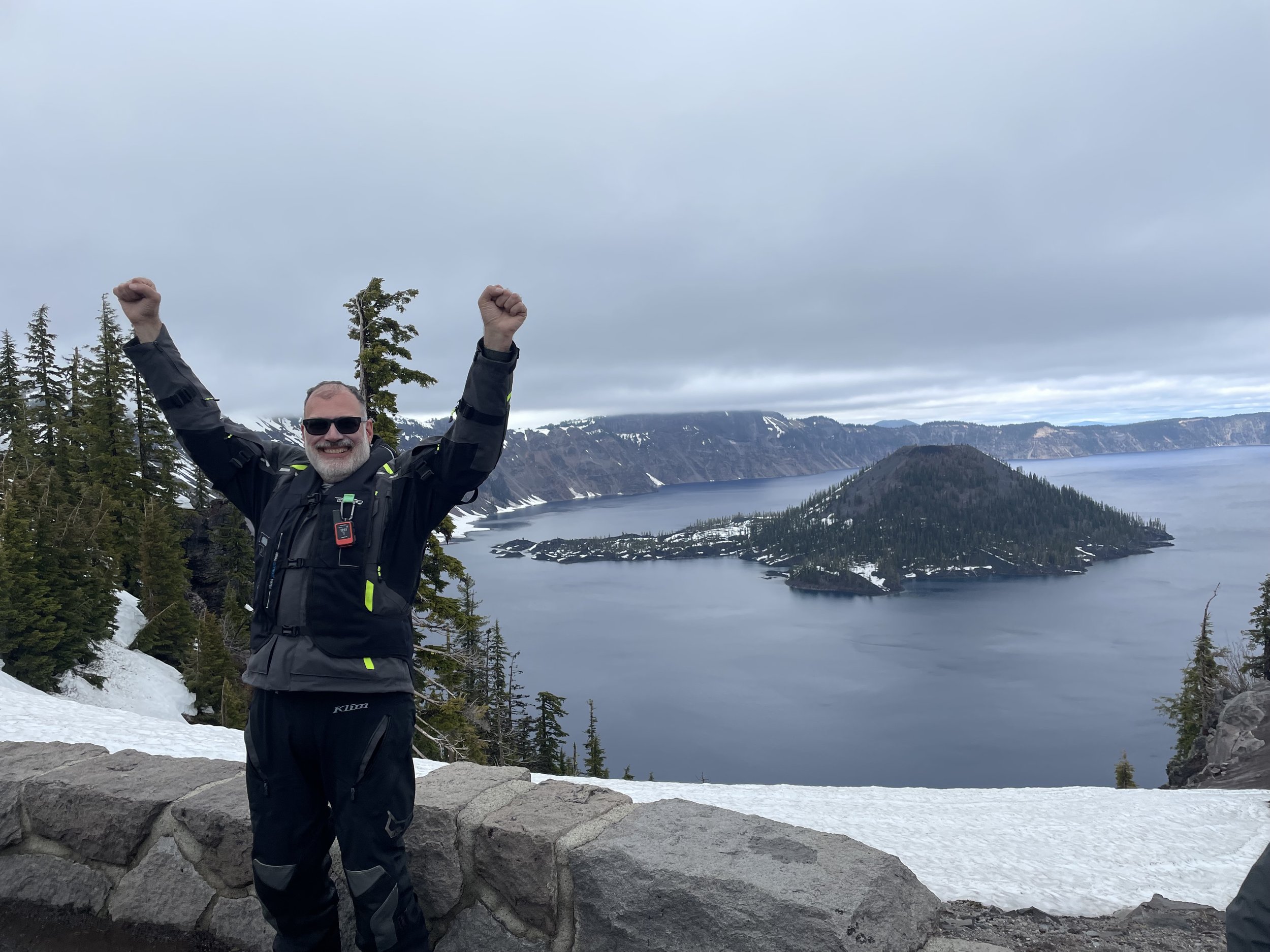
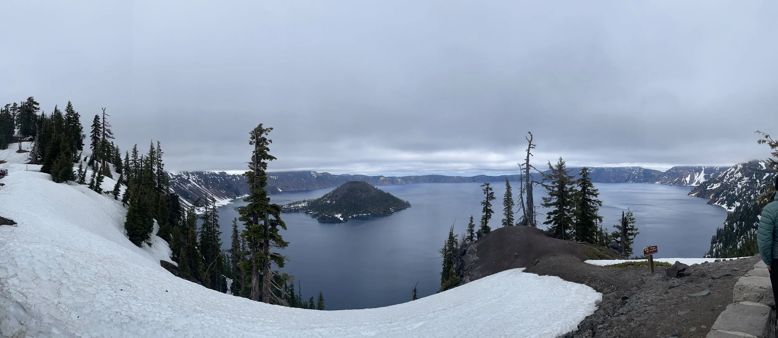
Entering the park, I showed my National Park Pass (get yours, here), and headed over the the visitors center to get my sticker and passport stamp. You can see there was about 5 ft of snow still on the ground here (sorry for that squished bug on my camera lens). Then, I headed up the 3 miles to Rim Road. Due to the snow, only about a mile of the rim road was open. They were clearing the west portion and expected to open that in about 2 weeks. The full rim road would not be open until late July. I learned that they get an average of 46 ft of snow every year (this was a light year, with only 40 ft).
It’s hard to describe how big and beautiful the lake is, so I’ll let the pictures do that for me. I chatted with a couple from New York, and headed over to the cafe for some lunch and to warm up. It was 45 degrees, and I needed to change into my cold weather gloves. I headed out of the park and north. There would be a lot more to see today.
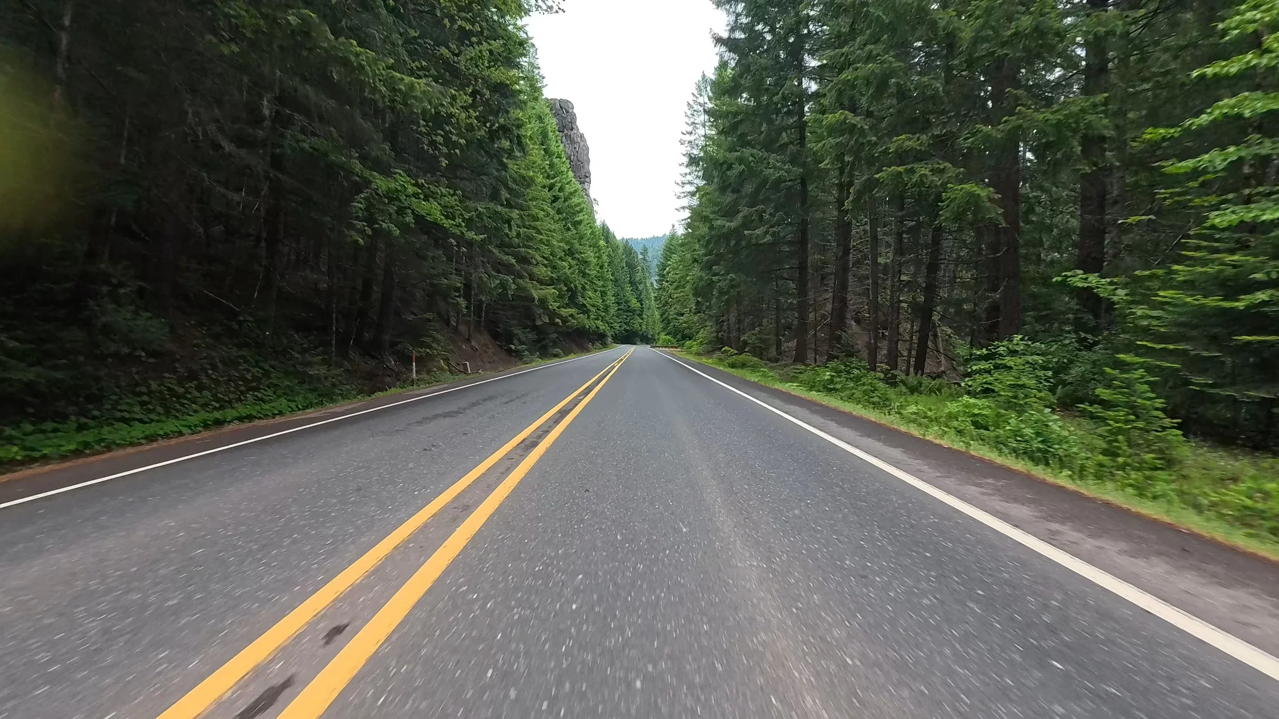
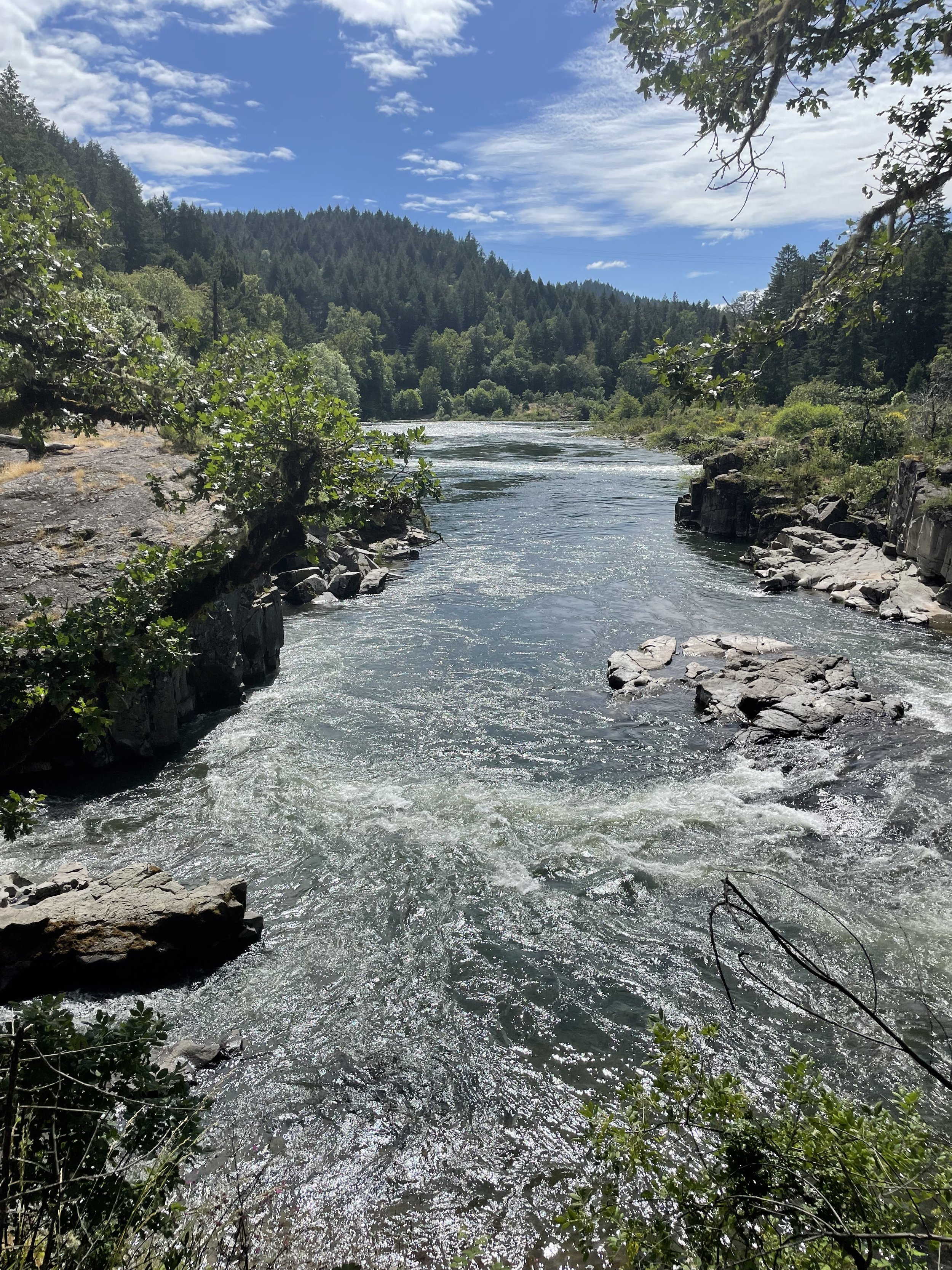
The ride along RT 62 to 230 to 138 was green and twisty—it followed the North Umpqua River. Every once in a while, there would be a huge rock formation sticking out among the trees. When I got to Glide, OR, I remembered that the couple I met in Grants Pass, who told me about this road, also mentioned that I should check out Colliding Rivers. At this spot, the Little River and North Umpqua rivers flow directly at each other and collide. Then, they combine and go west to the Pacific. This is apparently the only place in the United States where this happens. Here’s a video I took
After that, I headed over to Roseburg, where I had planned on spending the night. Riding through the town, I decided to keep on going to the Oregon Coast. It was only another 1.5 hours, and I heard that RT 42 through Coquille was pretty. So, off I went.
I made it to Coos Bay, and got the last room at the Best Western there. Had some schnitzel at the Blue Heron Bistro, which has an eclectic combination of traditional German food, local seafood, and Memphis style bbq, and I called it a good day.
