Day 54: Caves and Summits


Grants Pass, OR through Oregon Caves National Monument and Preserve, Happy Camp, CA to Ashland, OR
193.86 Miles | 4:51 Riding Time
It’s Monday, June 3, 2024, and it’s Day 54 of my cross country motorcycle trip.
Today was a pretty wild day. Not only did I spend an hour and a half underground today, but also rode through of the most eerily beautiful places I’ve ever seen, took a scenic route along a river, and rode on an interstate. I was down, up and all around today.
I started the day riding to the Oregon Caves National Monument and Preserve. Reservations are required for a tour. They were sold out online, and they only make a small number of same-day tickets available. The visitors center opened at 8:30, and I got there at 8:45. I got a ticket (yay!) and rode 45 minutes along a narrow, twisty, mountain road to get to where they start the tours. Did I mention it was also raining?
I got there and had to change clothes, because I had been to Mammoth Cave earlier in my trip. Mammoth Cave has White-nose syndrome, which is a fungal disease that infects hibernating bats. The fungus can get on your clothes (I had worn my riding suit in Mammoth), and can apparently stay on your clothes for years—even after multiple washings (kinda gross, right?) Oregon Caves does not have this problem, and they’d like to keep it that way.
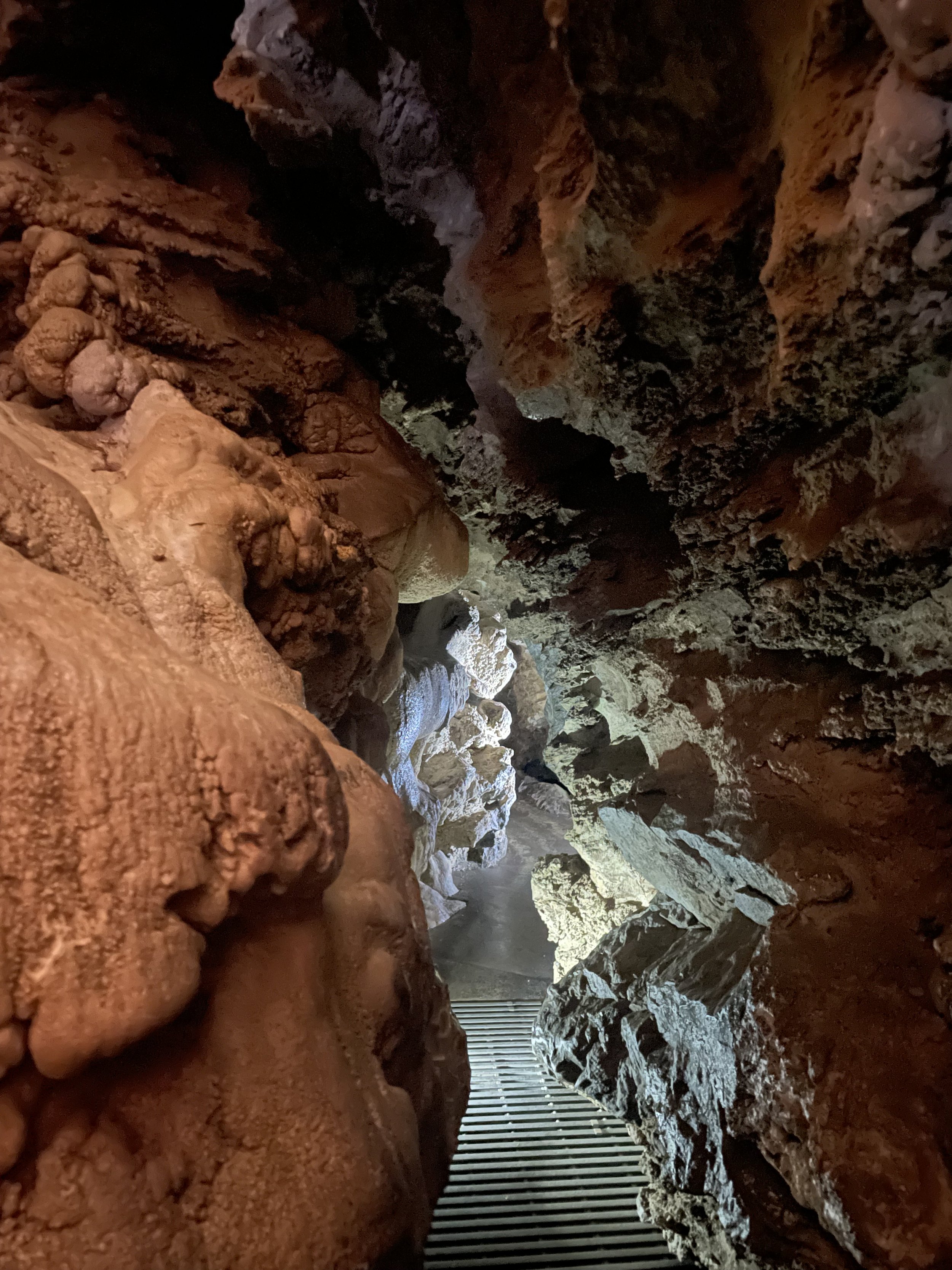
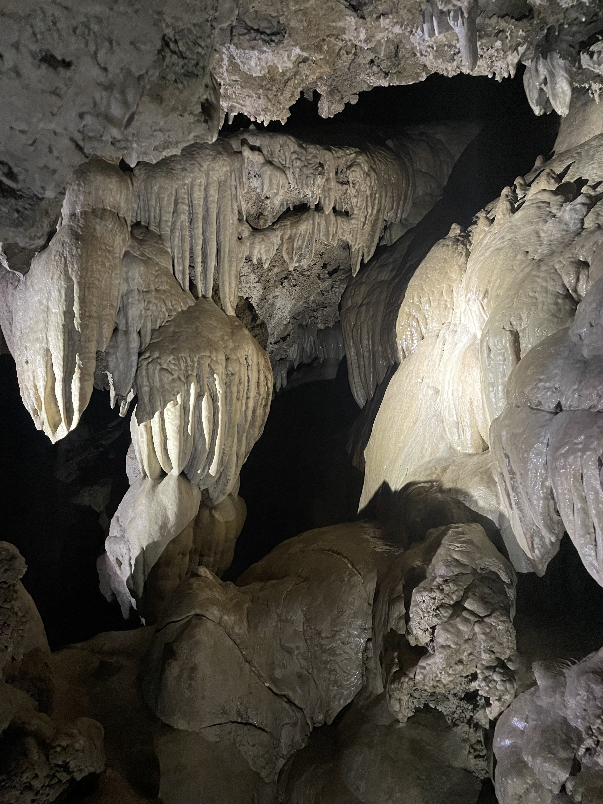
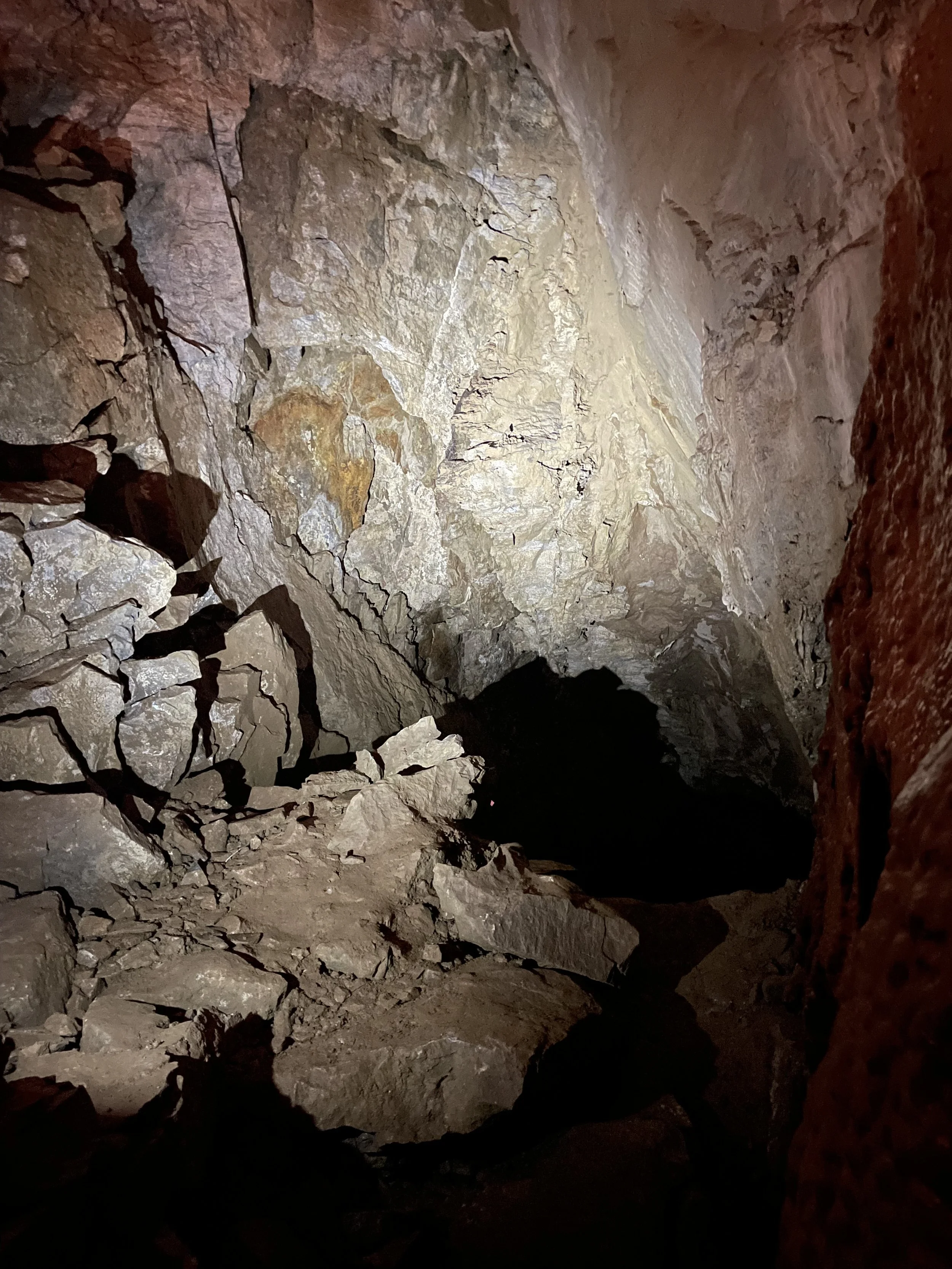
While the Mammoth tour was mostly large, cavernous rooms, the Oregon Caves were much more snug. Tight, narrow passages, and very little headroom made for differently amazing experience. We had a relatively small group (9 people) and a very knowledgable and friendly ranger. The tour is 90 minutes, and you really do see a lot. They cave was discovered in the late 1800s and there were tours of the cave being conducted in the 1890s. During those times, they had people sign their names in the cave, and those signatures have been preserved by a mineral layer that makes them still visible today. It will take thousands more years for them to get covered over and disappear. There was also quite a bit of souvenir-taking back then, and the broken formations are quite sad.
When I was first looking at the map of this area, I saw Indian Creek Road from just south of Cave Junction, OR to Happy Camp, CA. It’s listed as a Butler epic road, but I then heard there was some construction. I asked the woman at the Oregon Caves visitors center about it, and she said it was long, and she didn’t think it was open. I decided to go for it. I could always turn around. And, I was not disappointed—a little terrified, but not disappointed.
There was a sign that said to expect about an hour delay because of construction, but it would have been more than an hour to head back—keep going. Then I started to climb. Now, on just about every mountain road, there’s a mountain on one side, and nothing on the other. I was on the “nothing” side and it kept on climbing. Through a lot of twisties, it just kept climbing.
After about a half-hour, I saw “hole in road” in white paint on the road in my lane. Well…they weren’t kidding. There was a sinkhole about the size of a VW Bug in my lane—no cones, no barrier, no person with a flag—just a hole in the road. Ok, no one coming the other way—there hadn’t been anyone coming the other way for the past half-hour. Around the hole I went. About a quarter mile after that, there was a backhoe in the road working. He waived me around him and I got to ride in a little dirt for bit. About a quarter mile after that, there was a barrier in the road with a stop-sign. Two pickups were facing opposite directions, and the drivers were chatting. When I pulled up, they finished their conversation and went their way. I followed the truck going up, and we just kept going through the construction area.
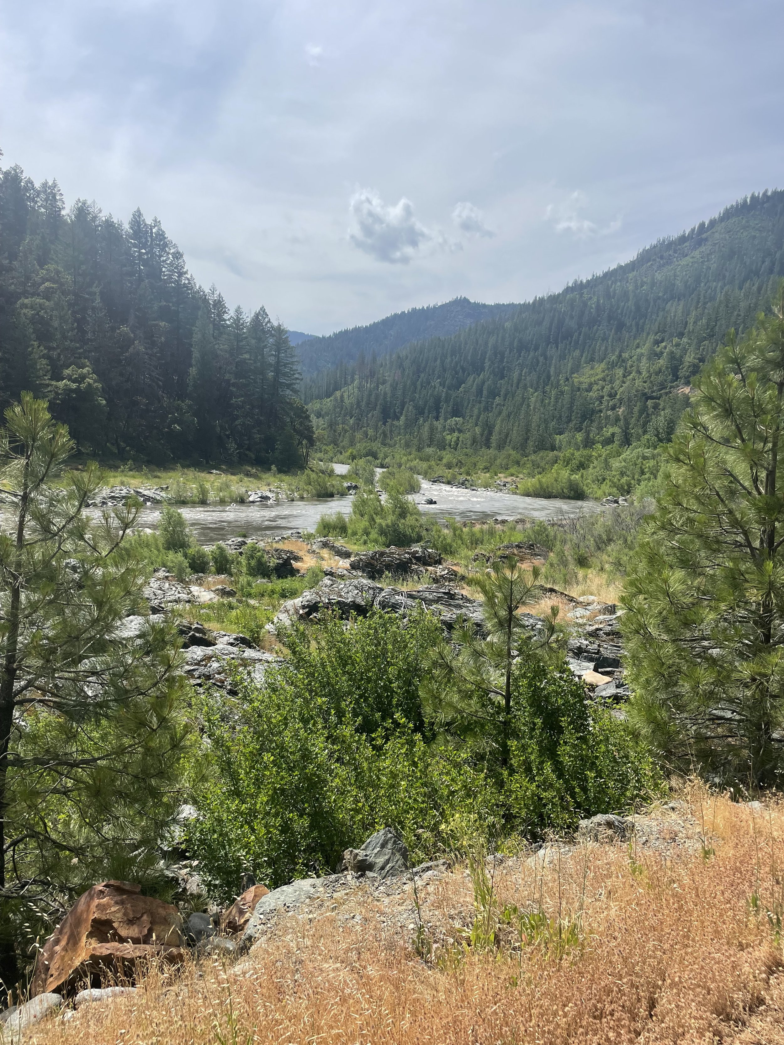
Finally at the summit, I got a chance to stop on firm, flat ground and get my camera going again (it flakes out if rain gets in where the power cable goes, and I have that always connected on the bike). As you can see by the pictures, it was heartbreaking. Best I can find, a fire consumed the area in 2023, and the construction and cleanup has been going on since then. The best way I can describe it is eerie-beautiful. The downed and burnt trees contrasted with the bare tree trunks and the green of foliage starting to break through were everywhere. For at least a couple hours, that’s all I saw.
Starting to head down the other side, things got gradually greener until I got to the valley floor, where the river was keeping everything green. And, it was a lush, green ride along the river and RT 96 (another Butler epic road) for another hour or so until I got to interstate 5.
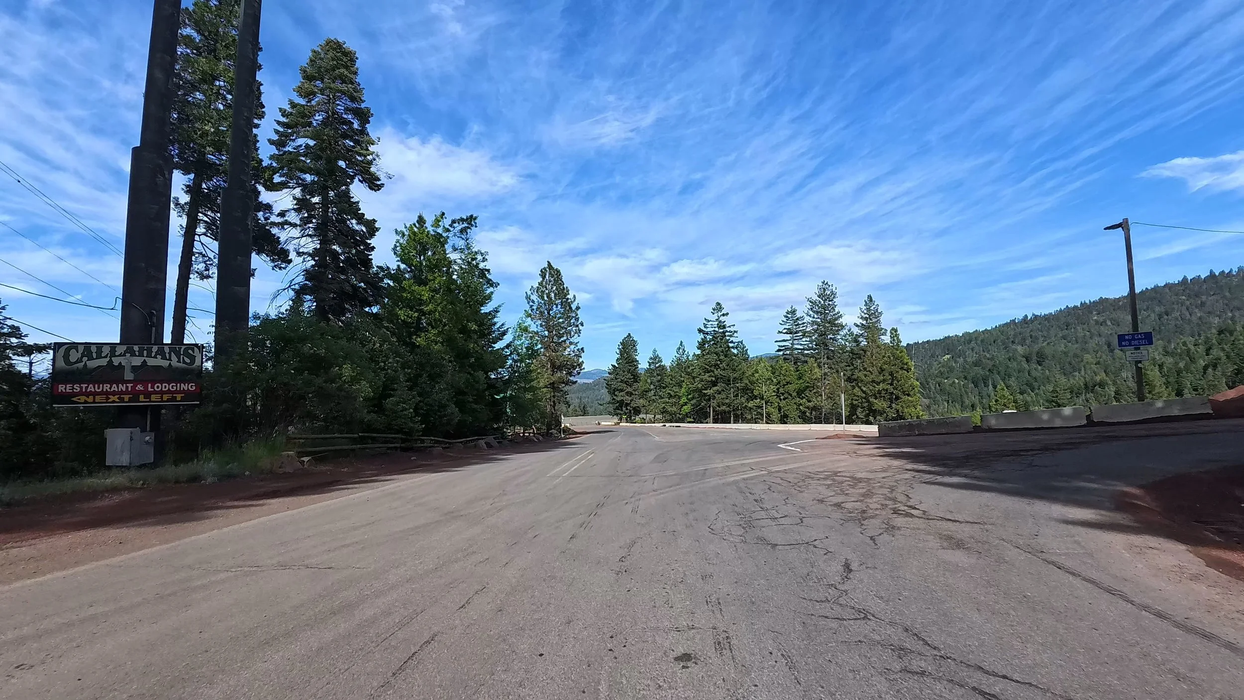
North to Mt Ashland and Callahans Mountain Lodge. A nice dinner and some local draft brought my wild day to a close.
